-40%
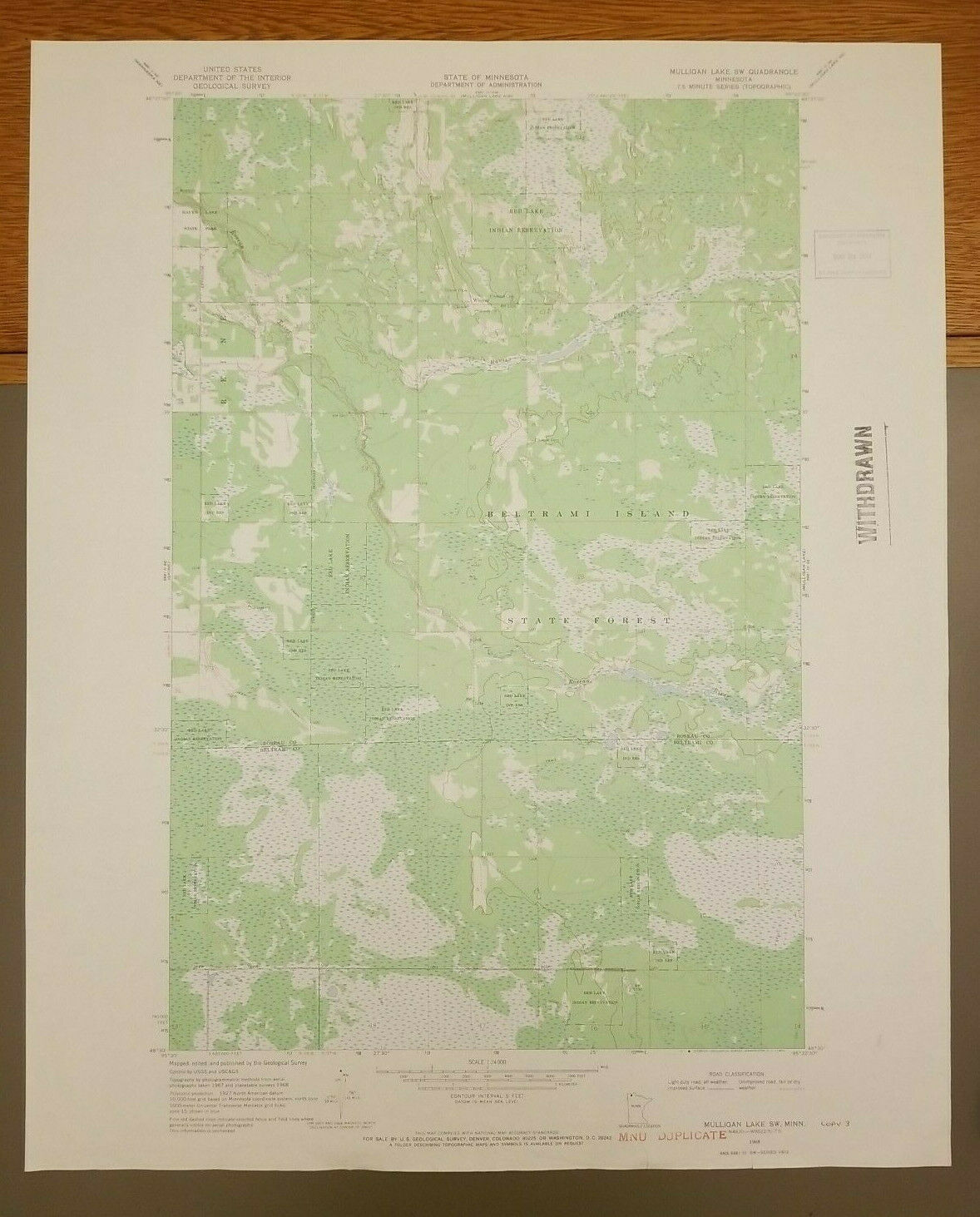
Upper Rice Lake, Minnesota Original Vintage 1969 USGS Topo Map 27" x 22"
$ 10.53
- Description
- Size Guide
Description
Upper Rice Lake, Minnesota Original Vintage 1969 USGS Topo Map 27" x 22"Original vintage 1969 map in good condition with some wear. May have yellowing and/or other discoloration on or near edges, small tears, creasing and/or wrinkles. There may be writing on back of map which might show through on the front upper right corner. May have County name written on bottom of map. May have stamp mark. Please zoom in on photos. Will be packed with care and ship rolled in a tube.
Shipping:
We
ship using USPS and FEDEX ground. If you do not have a mailbox, need it sent by a different shipper, or to a different address than automatically provided to us by PayPal or eBay, please send a separate message to us prior to or immediately after the purchase. International shipping via eBay global only.
Terms & Conditions:
All items are described to the best of our ability. It is your responsibility to ask all questions before purchasing. Buyer always pays return shipping-non refundable.


